


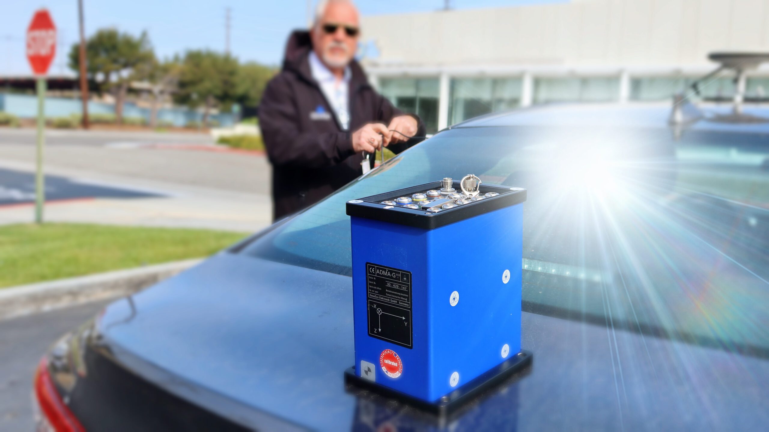
Track accurate “ground truth” (GT) maps are needed for objective quality assessment of automated driving functions. The goal is to achieve maximum accuracy of the absolute 3D trajectory. In combination with other sensors such as radar, lidar, or camera, road markings or traffic signs can also be recorded with high accuracy.
This makes it possible to localize the vehicle position and movement very precisely – to the nearest centimeter – and thus to perform an objective evaluation of lane departure warning systems (LKAS).
Our solutions:
To improve the accuracy of inertial data on public roads, the ADMA offers the possibility to include four satellite systems (GPS, GLONASS, Galileo, BeiDou) in the position calculation, increasing the availability of satellite information.
To reduce the sensor drift in the event of a GNSS signal failure, it is also possible to support the inertial system with the aid of an external odometer. In this case, the sensor drift is significantly reduced with a quadratic, instead of exponential error propagation.